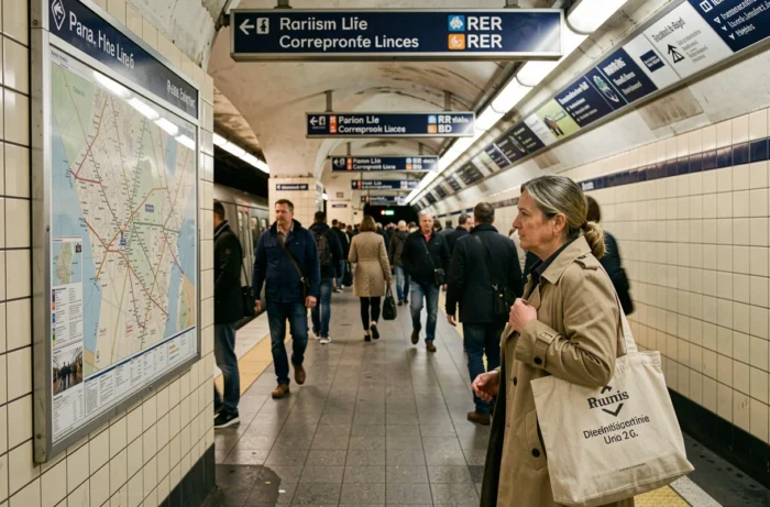
Paris Metro Line 6 connects Charles de Gaulle – Étoile to Nation, tracing a southern arc across the city. Its 28 stations intersect with several RER, bus and tram lines, making it a major interchange route. Not all connections are equally convenient: some involve long walks, changes in level without lifts, or exits far from the arriving platform.
Less accessible connections on Line 6: stations to plan ahead for
On a map, an interchange is just a circle where two lines cross. In practice, the experience varies depending on whether the station has lifts, short corridors or significant changes in level.
Bercy, which connects Line 6 to Line 14 and Bercy station (Intercités trains), is a good example of this difference. The route to Line 14 uses relatively direct corridors, but reaching the SNCF station from the Line 6 platform means going back up to street level and crossing a forecourt. With suitcases, the journey takes considerably longer than the map suggests.
At Denfert-Rochereau, the connection to RER B involves stairs and sloping corridors. Wheelchair users and passengers with strollers often need to take a route above ground, as the lifts do not cover the entire underground journey between the two networks.
To view these connections and identify the stations concerned, the Paris Metro Line 6 map and its connections can help you locate transfer points and check their layout in advance.

Line 6 and RER connections: interchange and route table
Line 6 connects directly with two RER lines and provides indirect access to others via shared Metro stations. The table below summarizes the main RER connections and the route constraints involved.
| Line 6 station | RER connection | Route |
|---|---|---|
| Charles de Gaulle – Étoile | RER A | Long corridors, several underground levels; follow the signs carefully |
| Denfert-Rochereau | RER B | Stairs and sloping corridors; partial step-free access |
| Nation | RER A | Underground connection with a change in level and moderately long corridors |
| Bercy | Access to Bercy station (no direct RER connection) | Requires exiting to street level and crossing the forecourt |
Charles de Gaulle – Étoile has the longest route to RER A. The station is shared with Lines 1 and 2, and the RER A platforms are several levels below. The actual transfer takes considerably longer than the few minutes shown by journey-planning apps.
At Nation, the connection is more straightforward. The transfer to RER A remains underground, with less of a change in level than at Étoile. The corridors are shorter and the signs more direct.
Bus and tram connections from Line 6: the best-served stations
Line 6 runs along part of southern Paris, where the RATP bus network is extensive. Some stations provide immediate access to bus routes outside the exit, while others require a walk of several minutes to reach a stop.
Stations with direct bus access from the exit
- Montparnasse – Bienvenüe serves a major bus hub, with stops located around the station. Connections to Metro Lines 4, 12 and 13 provide additional options, but the distances between platforms are among the longest in the Paris network.
- Place d’Italie has several bus routes at street level and connects to Metro Lines 5 and 7. The walk from the Line 6 exit to the bus stops is relatively short.
- La Motte-Picquet – Grenelle provides access to Lines 8 and 10, as well as several buses serving the 15th arrondissement. The bus stops are right by the exits.
Tram T3a south of Line 6
Tram T3a runs along the Boulevards des Maréchaux in southern Paris. Several Line 6 stations are close to the route, but there is never a direct connection: you always have to exit to street level and walk.
At Denfert-Rochereau, the T3a stop is a few minutes’ walk away. The distance is similar at Place d’Italie. These connections work well for able-bodied pedestrians, but the walk above ground makes the transfer harder for people with reduced mobility, especially in bad weather or with bulky luggage.
Trocadéro and Bir-Hakeim: two tourist stations with very different connections
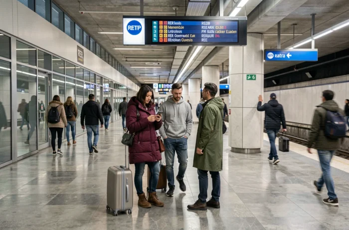
These two stations are among the busiest on Line 6 because of their proximity to the Eiffel Tower. Their interchange options are very different.
Trocadéro connects Line 6 to Line 9. The transfer takes place within the same station, with only a small change in level. It is one of the easiest connections on the entire line. However, no RER or tram serves the station directly.
Bir-Hakeim has no direct Metro connections. The station is elevated, on the viaduct that crosses the Seine. Passengers arriving with luggage from Montparnasse station via Line 6 and heading to a hotel near the Eiffel Tower often get off here. The lack of lifts at some entrances makes it difficult to descend from the viaduct with large suitcases.
The geographical proximity of these two stations hides a real difference in accessibility. Trocadéro is the more practical choice for passengers with luggage travelling on Line 6 to the Eiffel Tower area, despite the slightly longer walk to the monument.
Line 6’s connections reflect the varied nature of the Paris network: newer or renovated stations offer smooth transfers, while others, built more than a century ago, involve routes that neither maps nor apps clearly flag. Checking these constraints before setting off is still the most reliable way to avoid unpleasant surprises.